









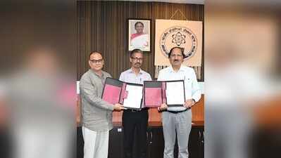
Patna: The state’s ancient monuments and archaeological treasures are set to enter the digital age, with IIT-Patna and the Bihar Heritage Development Society (BHDS) joining forces to deploy drones, LiDAR, radar and artificial intelligence for their scientific mapping, documentation and conservation.A five-year memorandum of understanding (MoU) signed on Tuesday designates IIT-Patna as the principal geospatial technology consultant to BHDS. The state govt will fund a Centre of Excellence on Geospatial Technologies for Heritage at the institute.Under the initiative, heritage sites will be surveyed through LiDAR, UAV-based photogrammetry and Ground Penetrating Radar (GPR) to create detailed digital records. The project will generate 3D models, digital elevation maps, orthomosaics and GIS databases—potentially transforming the way Bihar’s archaeological assets are identified, monitored and conserved.Artificial Intelligence and Machine Learning will be used for automated mapping and for integrating datasets generated by multiple sensors. IIT-Patna will also provide structural engineering expertise for the conservation and reconstruction of heritage structures.A steering committee comprising representatives from IIT-Patna, BHDS and the state government will oversee implementation, with quarterly reviews to track progress.IIT-Patna director T N Singh said the collaboration would turn cutting-edge technology towards real-world heritage challenges. BHDS executive director Anil Kumar said the initiative could set new national benchmarks in heritage conservation. The initiative was proposed and coordinated by Akshar Tripathi, an assistant professor at IIT-Patna.